Xianteng Tang
XIANTENG TANG
Ph.D Student @ Indiana University Bloomington
tangxt.me@gmail.com / xiantang@iu.edu

About

I am a first-year Ph.D student in the Department of Geography, College of Arts and Sciences, Indiana University Bloomington, advised by Prof. Yaqian He.

I received my B.Sc. in Geographic Information Science (GIS) and M.Eng. from Southwest Petroleum University, China. During my master's training, I worked on interdisciplinary research across public health and geography, while also focusing on data prediction-oriented studies. These experiences have shaped my strengths in spatiotemporal pattern analysis, influencing-factor analysis, and spatiotemporal data prediction.

Interests

  • Geography
  • Health GIS
  • Spatiotemporal Statistics
  • Statistical Regression
  • Data Prediction, Imputation, and Downscaling
  • Environmental Health
  • Geostatistics
  • R Programming Development

Education

Indiana University Bloomington Southwest Petroleum University Southwest Petroleum University

Experiences

Aug. 2026 - Present
2025 - 2026

Research Assistant @ Sichuan University
West China Health and Medical Geography.
Advisor: Prof. Chao Song.
Dec. 2025
Field Investigator @ Rural Hypertension and Cognitive Function Follow-up Study
Conducted cognitive function assessments and onsite follow-up among rural older adults with hypertension.
Project lead: Prof. Yuju Wu, West China School of Public Health / West China Fourth Hospital, Sichuan University.
Joint project by West China School of Public Health / West China Fourth Hospital, Sichuan University, and Sichuan Provincial People's Hospital.
2022 - 2025
Dec. 2021 - Jan. 2022
Survey Participant @ 2021 Annual National Land Change Survey
Supported field verification, land-use status checking, and survey documentation for annual land-change monitoring.
2018 - 2022
Undergraduate Student @ Southwest Petroleum University

Projects

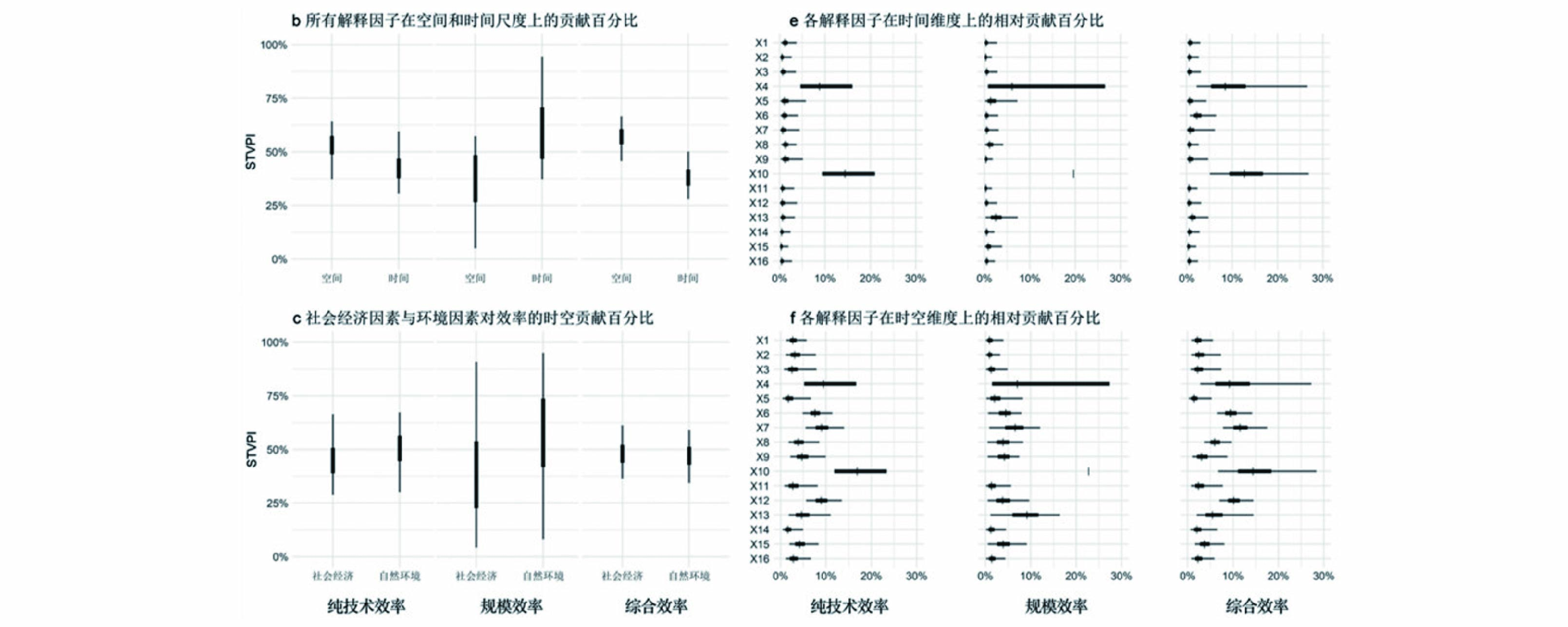
Spatiotemporal heterogeneous perspective for analyzing influencing factors, identifying key drivers, and making dynamic predictions in a unified full-map framework.
An interactive R Shiny application for Bayesian spatio-temporal varying coefficient modeling.
R / Shiny
Repository
A tutorial for packaging R Shiny interactive programs into desktop-based applications.
JavaScript
Repository
Personal academic homepage repository, adapted from the eggpig.github.io template.
JavaScript
Repository

Publications

( / / )
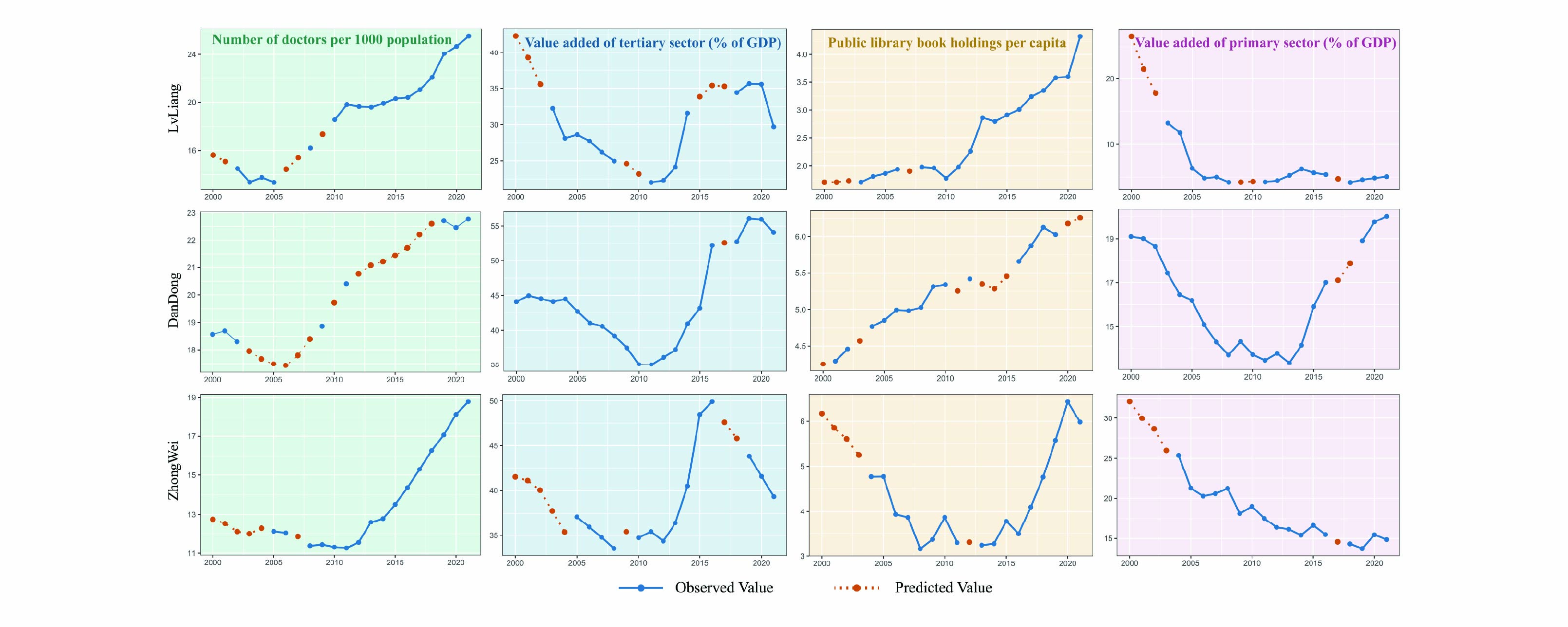
A Long-Term Consistent Socioeconomic Dataset of Chinese Cities Generated by Bayesian Spatiotemporal Modeling with Multi-Source Earth Observations
Z. Tang, X. Tang, L. Liao, G. Yan, Z. Wang, et al.
Earth System Science Data, 2026
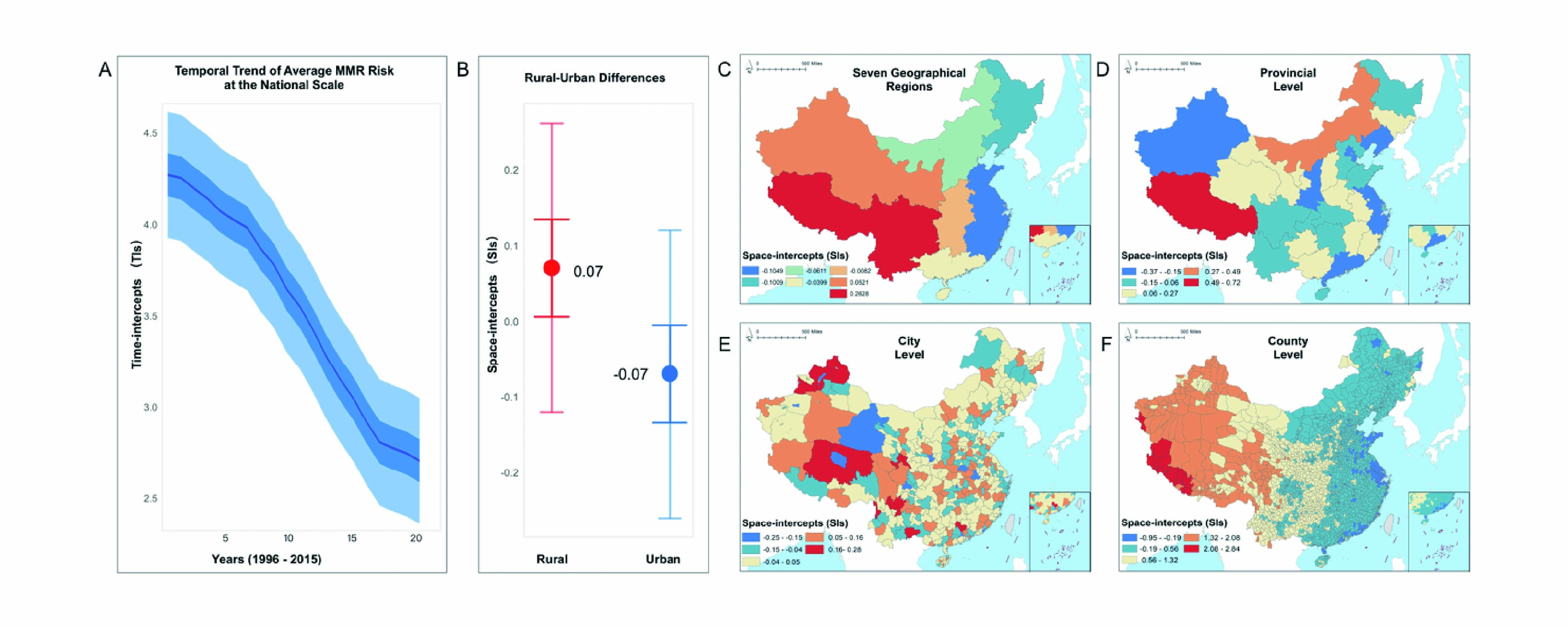
Spatiotemporal Disparities in Maternal Mortality and the Role of Multiscale Administrative Levels: A 20-Year Study Across Chinese Counties
L. Liao, F. Yuan, Y. He, S. Xu, X. Tang, M. Xie, X. Tang, Z. Tang, et al.
Frontiers in Public Health, 2025
[DOI] [PDF]
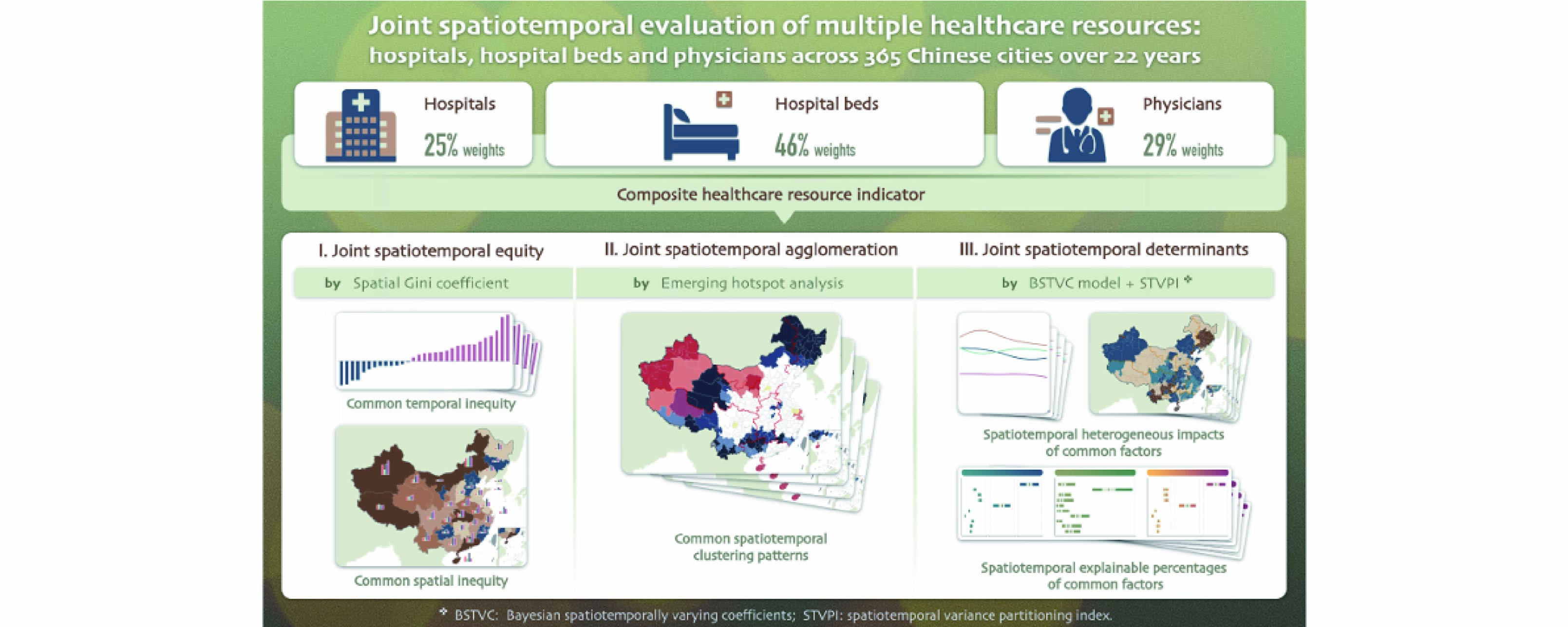
Joint Spatiotemporal Evaluation of Multiple Healthcare Resources: Hospitals, Hospital Beds and Physicians Across 365 Chinese Cities Over 22 Years
X. Qi, M. Xie, Y. He, X. Tang, L. Liao, Y. Luo, K. Lin, et al.
Frontiers in Public Health, 2025
[PDF]
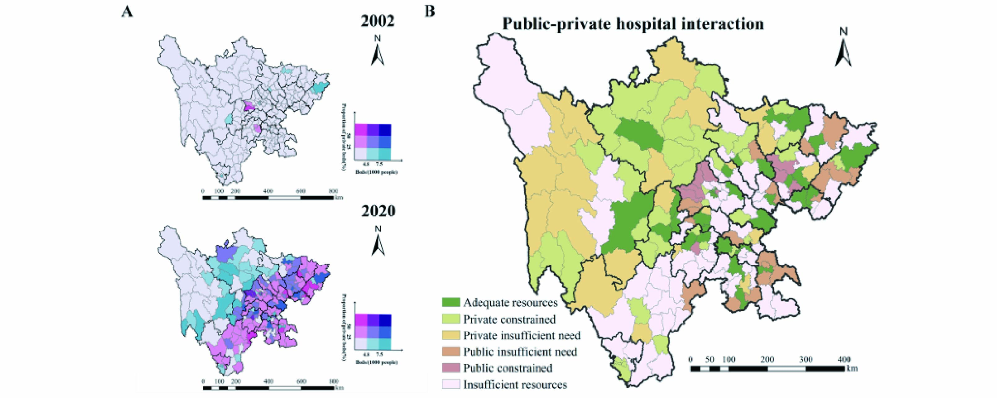
Co-Evolution of Private and Public Hospitals: Spatiotemporal Disparities, Geospatial Interactions, and Social Determinants Over 19 Years in Sichuan, China
X. Liu, X. Wang, Y. He, X. Tang, J. Wang, X. An, et al.
Frontiers in Public Health, 2025
[PDF]
User's Guide for the BSTVC R Package
C. Song and X. Tang
ResearchGate, 2025
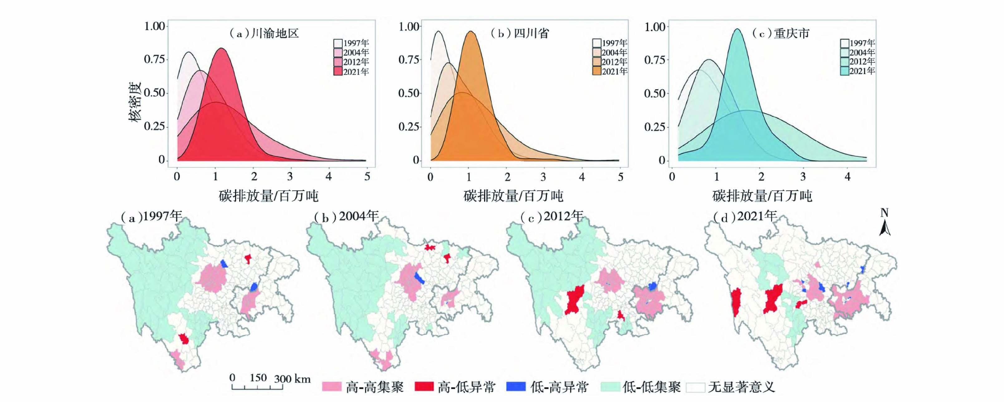
Spatiotemporal Pattern Characteristics of Carbon Emissions at the County Scale in Sichuan and Chongqing, 1997-2021
X. Tang, Z. Tang, C. Song, et al.
Journal of West China Normal University (Natural Sciences), 2024
[PDF]
Small-Area Spatiotemporal Evaluation of Healthcare Resource Allocation Efficiency: County Panel Data from Sichuan Province, 2009-2016
Y. Luo, M. Xie, G. Yan, X. Tang, et al.
Chinese Health Service Management, 2025
[PDF]
Small-Area Spatiotemporal Disparities in Under-Five Mortality: Insights from a 17-Year Observational Study Across Chinese Counties
S. Xu and X. Tang contributed equally, et al.
Humanities and Social Sciences Communications, under review, 2025

Software Copyrights

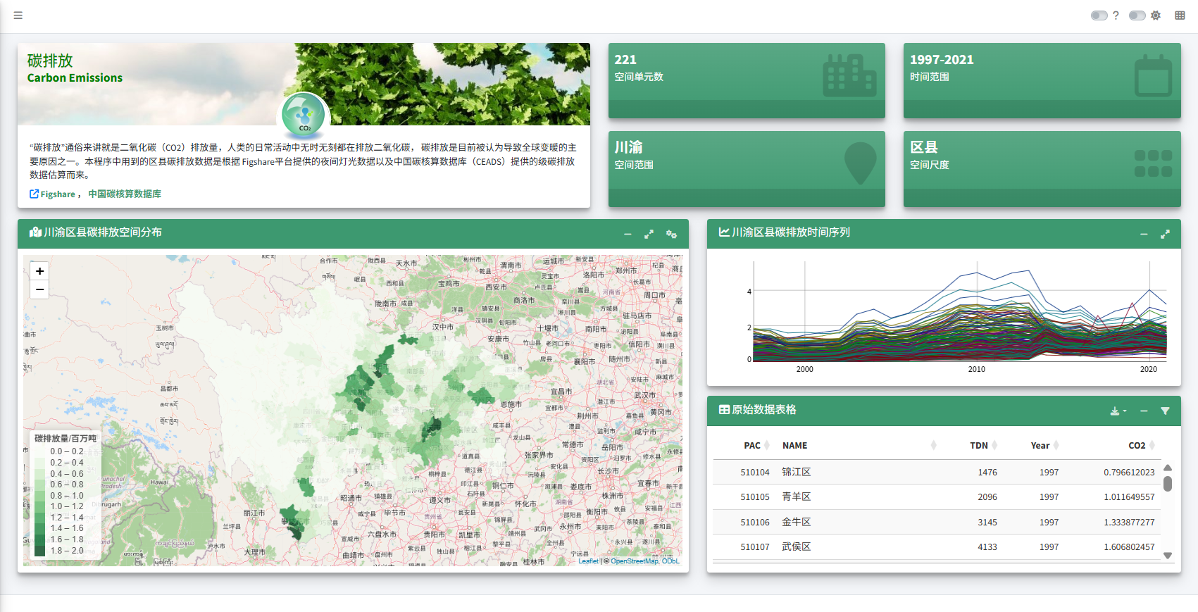
Carbon emission analysis system interface preview

Carbon Emission Spatiotemporal Analysis System

Based on spatial autocorrelation. Registration No. 2024SR0857063. [App]
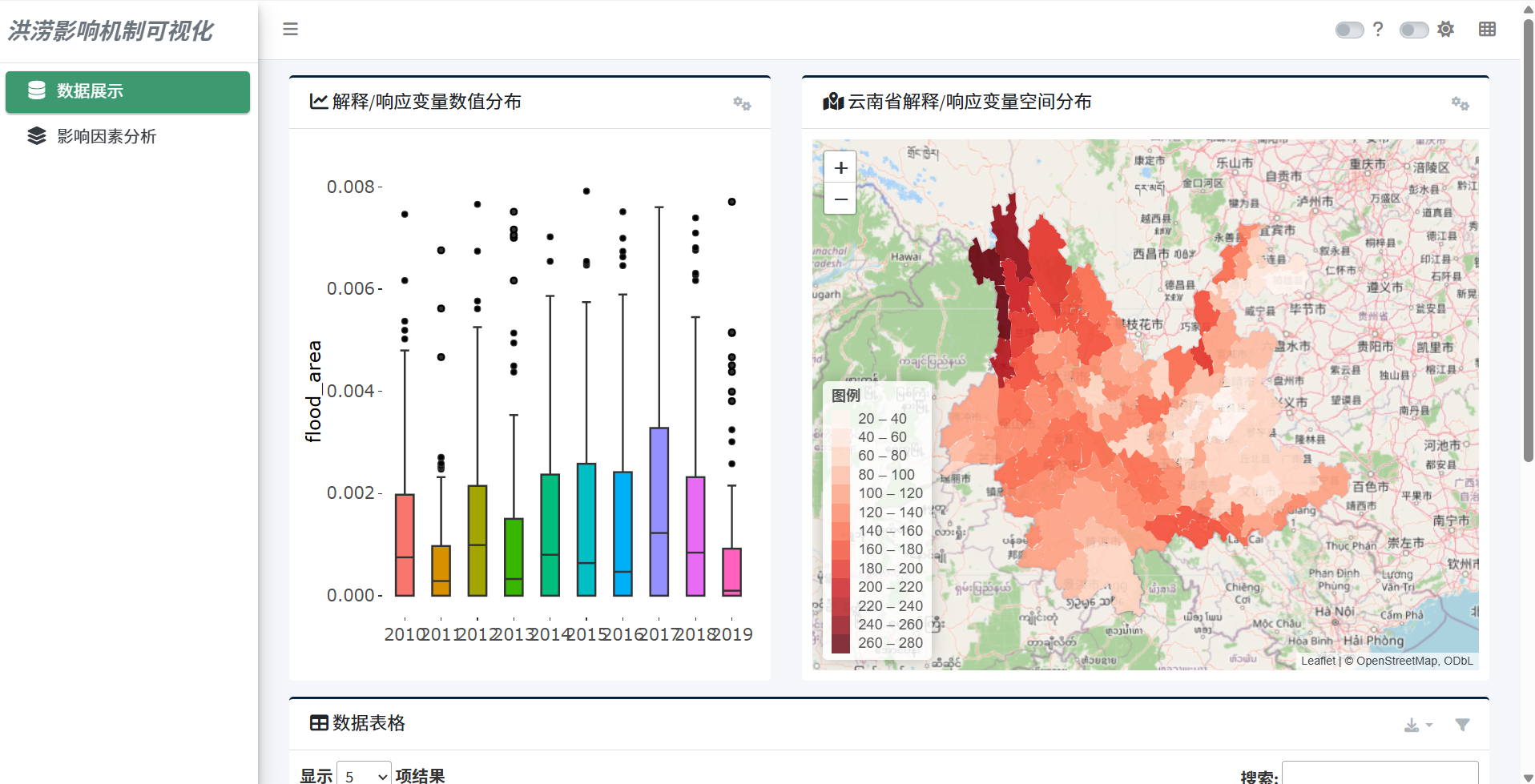
Flood impact visualization system interface preview

Flood Impact Mechanism Visualization System

Spatiotemporal analysis and visualization system. Registration No. 2024SR1207038; Certificate No. 13610911.
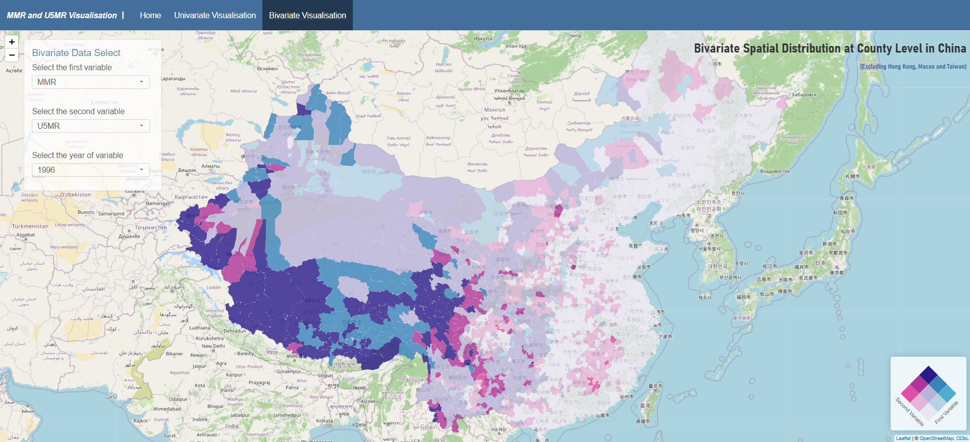
R Shiny bivariate visualization system interface preview

R-Shiny Bivariate Visualization System

Developed with Zhangying Tang, Kaiwei Lin, and Guoqiang Yan. [App]

Competitions, Conferences, and Practice
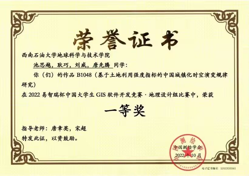
2022 Esri Cup first prize certificate

2022 Esri Cup GIS Software Development Competition

First Prize, Geography Design Group. Project on China's urbanization based on land-use intensity indicators.
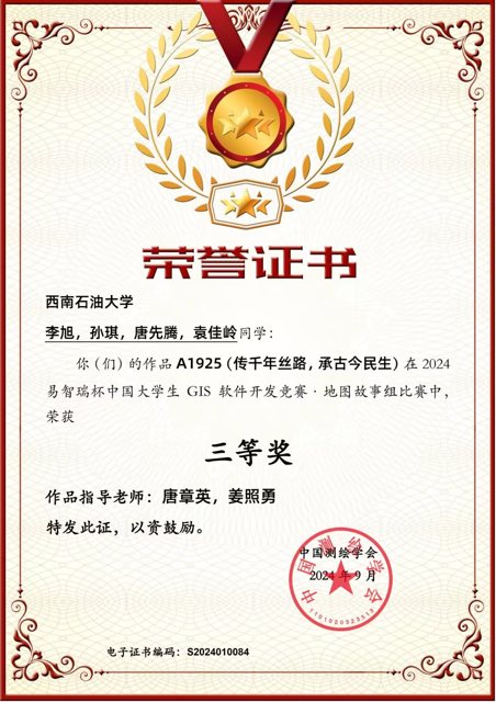
2024 Esri Cup third prize certificate

2024 Esri Cup GIS Software Development Competition

Third Prize, Story Map Group. Project: Inheriting the Millennium Silk Road and Livelihood Across Past and Present.
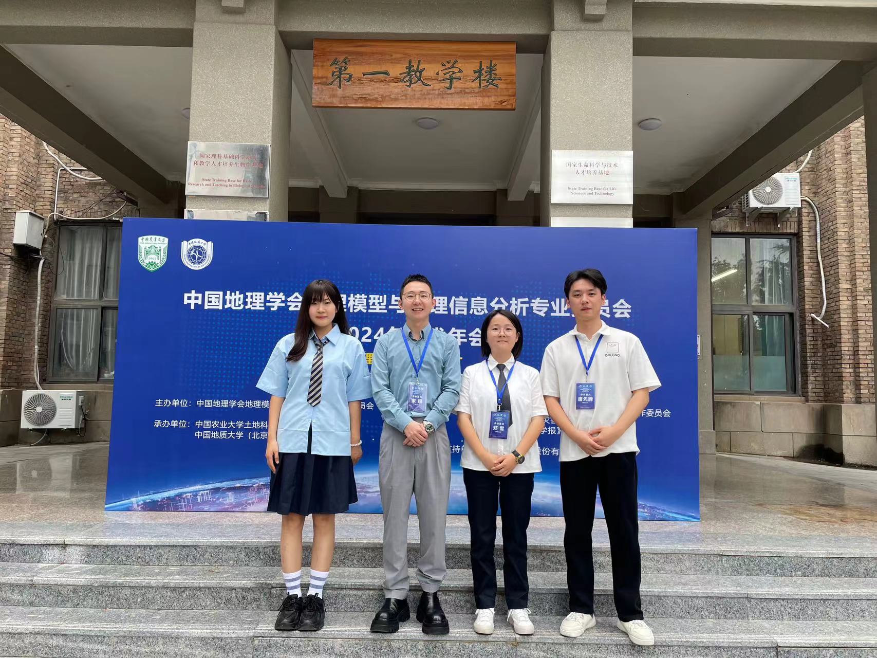
Conference participation proof

Conferences and Field Practice

Presented at the 2024 GSC academic annual meeting; participated in cartography symposiums and land-change field survey practice.

Grant Proposal Contributions

National National Natural Science Foundation of China

Contributed to proposal writing for a successfully funded national natural science project.

Provincial Provincial Natural Science Foundation Project

Contributed to proposal development for a successfully funded provincial-level natural science project.

Selected Honors

  • Second-Class Academic Scholarship, Southwest Petroleum University, first year of master's study.
  • Third-Class Academic Scholarship, Southwest Petroleum University, second year of master's study.

Visitor Map